The MAP Series Underwater Communication and Navigation System consists of the following components:
1. Control Center Map - Commander - Map
(1) Surface Command and Control Unit
(2) Positioning and Communication Buoy
2. Dive Navigation Computer - Navygator - Map
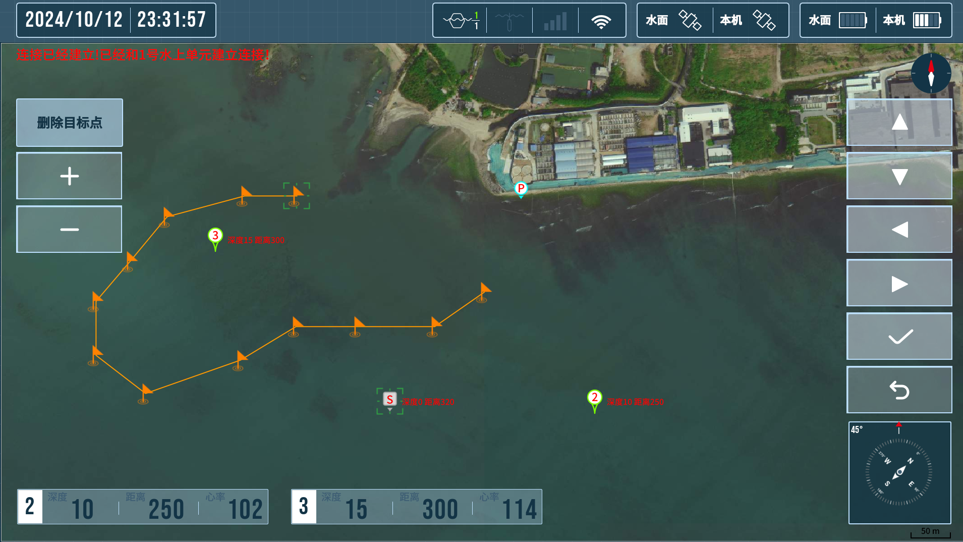
Underwater Target Setting
Supports setting target points while using map locations or latitude and longitude coordinates.
(1) Capable of managing up to 1,500 target points.
(2) Multiple target points can be combined into planned routes for accurate positioning and navigation during underwater activities.

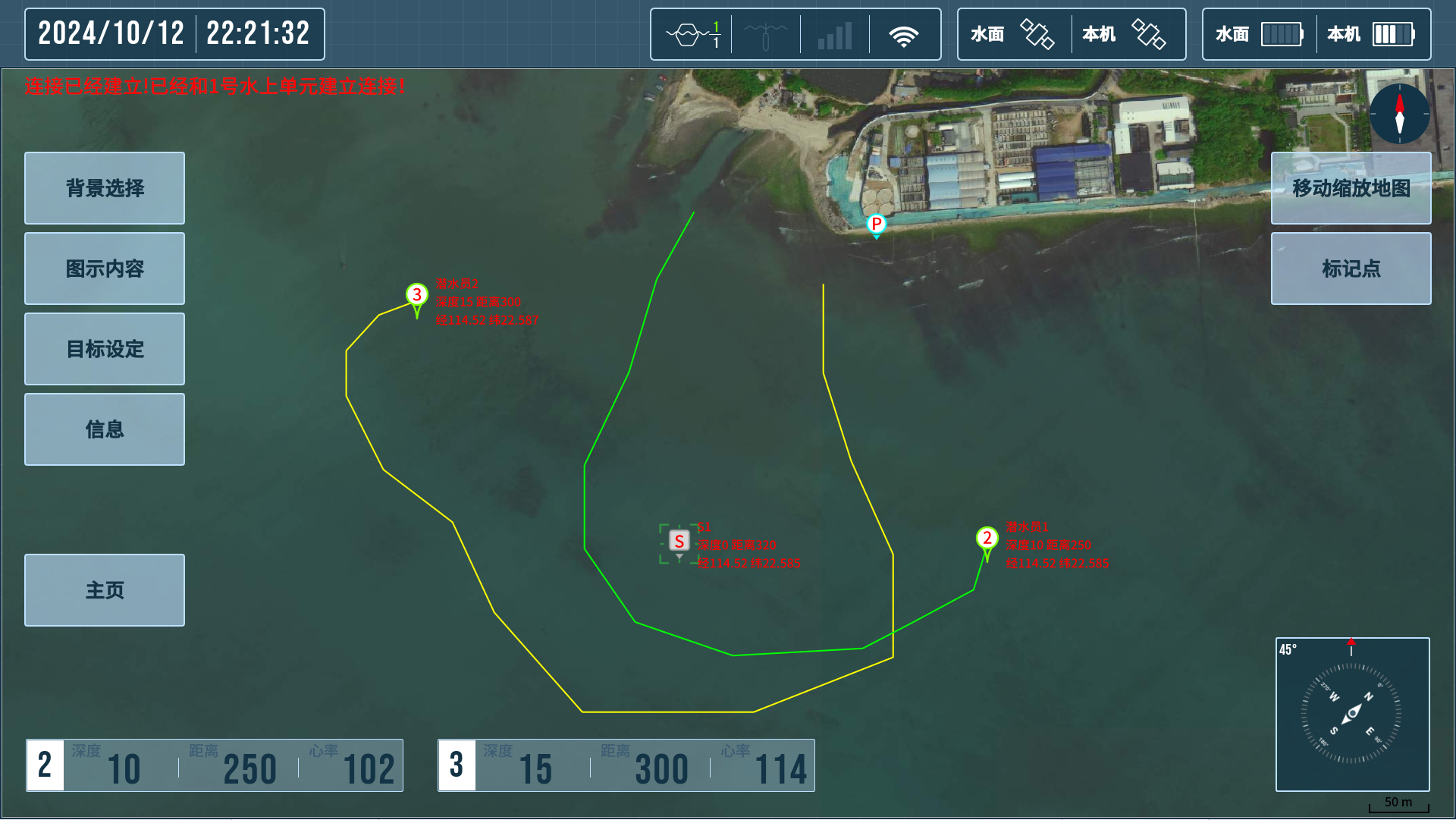
Underwater Trajectory Recording
Tracks divers' movements in real-time, recording data such as time, depth, and coordinates, which is displayed as trajectory lines on a map, facilitates analysis and management of underwater activities.

Underwater 3D Navigation
Provides navigational data including depth, distance, direction, and coordinates of target diver and points, ensuring precise arrival at the destination.
Map Mode Management
Offers four map modes: Standard Map, Satellite Map, Coordinate Map, and Imported Map.
Users can flexibly select a mode based on operational needs.
Dive Record and Export
Records detailed diving activity data in real-time, including time, depth, trajectory, abnormal status warnings, SOS alarm, and message logs.Users can export data as needed.
SOS Alarm
Diver devices feature an independent SOS emergency alarm button.
Divers can send SOS alarto all team members when in emergency, ensuring timely assistance.
Abnormal State Warnings
Automatically monitors divers' movements and supports configurable safety thresholds for parameters such as: Ascent speed,Descent speed,Safe distance,Maximum depth.
The warnings are issued if thresholds are exceeded, preventing potential risks.
Text message Communication
Includes 30 pre-set text messages for communication among networked team members, enhancing underwater coordination efficiency.
Technical Parameters
•Surface Wireless Range: Surface Command and Control unit and positioning communication buoy connect wirelessly up to 3 km.
•Satellite Positioning Accuracy: RTK precision of 1 cm + 1 ppm horizontally.
•Underwater Positioning and Communication: Acoustic positioning and acoustic communication.
•Underwater Communication Range: 400/1500 meters.
•Underwater Distance Measurement Accuracy: ≤ 1%D ± 0.3m.
•Underwater bearing accuracy : ≤ 2.0°.
•Target Points Setting: Supports up to 1,500 target points.
•Abnormal State Warning: Configurable for ascent/descent speed, safe distance, and maximum depth.
•Map Modes: Standard, satellite, coordinate, and imported maps.
•Ranging accuracy: 1%D±0.3m