To deal with ocean pollution situations, more and more scientific diving projects are going on, Ocean Plan 'Underwater Communication and Navigation System' has been applied in the Underwater scientific research project ' The Global Estuaries Monitoring Programme' in Port Shelter, Hong Kong. Marine scientists from City University of Hongkong have recognized the system and said that the system will be put into use in underwater scientific research to promote the improvement of the scientific diving system.
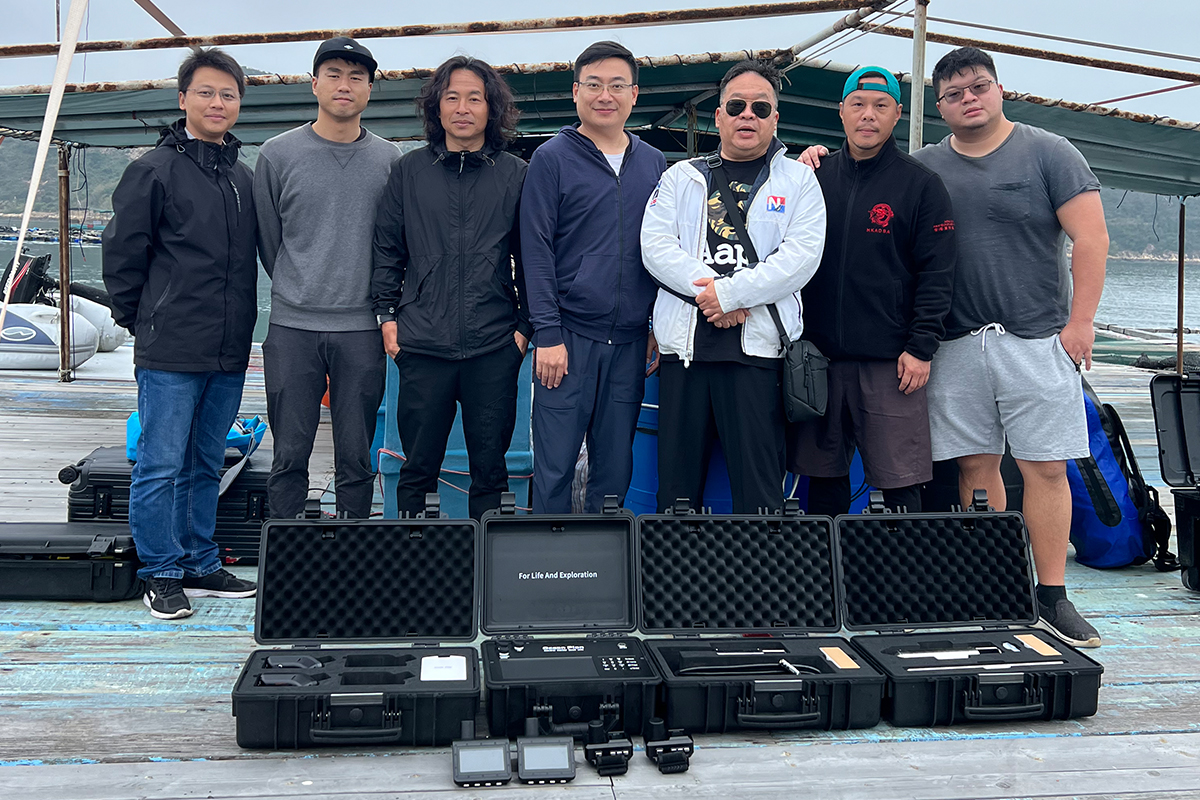
The Global Estuaries Monitoring (GEM) Programme belongs to The United Nations Decade of Ocean Science for Sustainable Development (2021-2030) program, with a view to developing a global network to monitor environmental contaminants (e.g. pharmaceutical residues, emerging pollutants of concern, micro-plastics, pathogens etc.) in major urbanized estuaries worldwide.
The Underwater Communication and Navigation System effectively guarantees the safety and interconnection of divers in underwater scientific research, marine research and other activities. The system realizes divers tracking, divers positioning and other functional requirements through underwater real-time positioning, underwater navigation, wireless underwater communication, underwater SOS, underwater divers status detection and flexible underwater networking forms. By using unique underwater acoustic communication technology, the system effectively solve the problems of divers being easily lost, limited communication methods, difficulties in calling for help, which improves the efficiency of underwater scientific research activities.
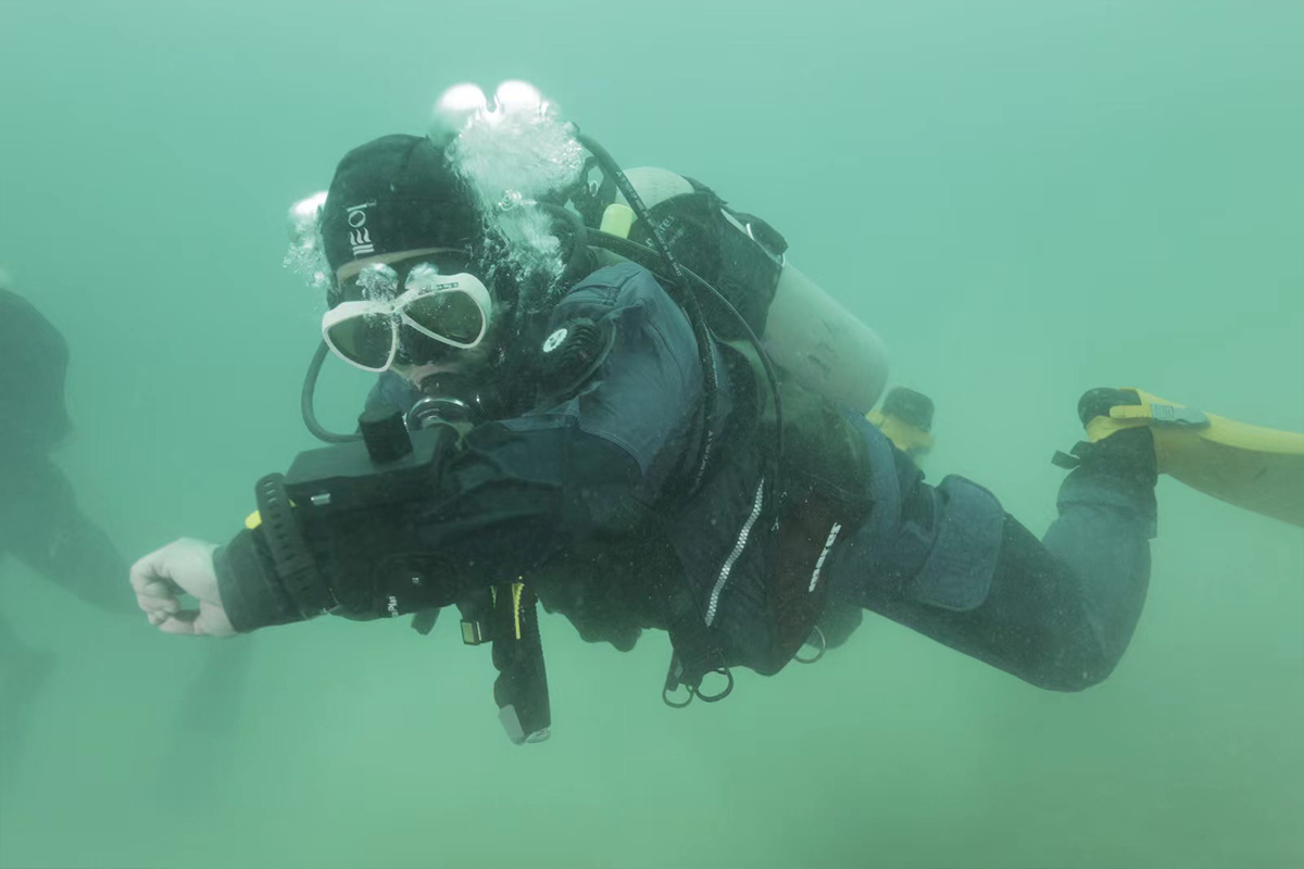
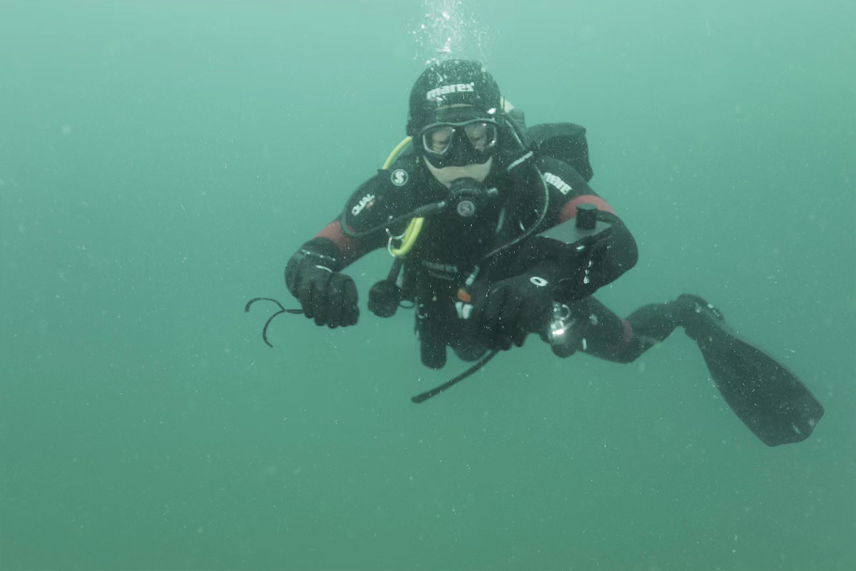
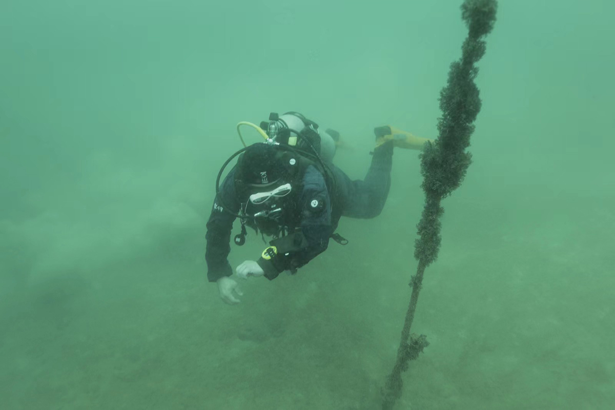
▲Diver wearing Dive Navigation Computer
During this underwater scientific research progress, marine scientists divers used the 400D series of(The underwater communication and underwater positioning range is 400m) Underwater Communication and Navigation System. The 400D series is composed of dive navigation computer that divers should carry, underwater locator beacon for mark the underwater location, control center for who is on the topside and other products. 2 -6 devices can be grouped and interconnected in this series.
The interconnection networking ways include independent networking between underwater divers, and underwater divers and the surface networking, which is to build a 3D underwater positioning communication network. System's advantages like easy to operate, fast to deploy, and excellent performance like stability, flexibility and portability also received unanimous praise from experts in this activity.
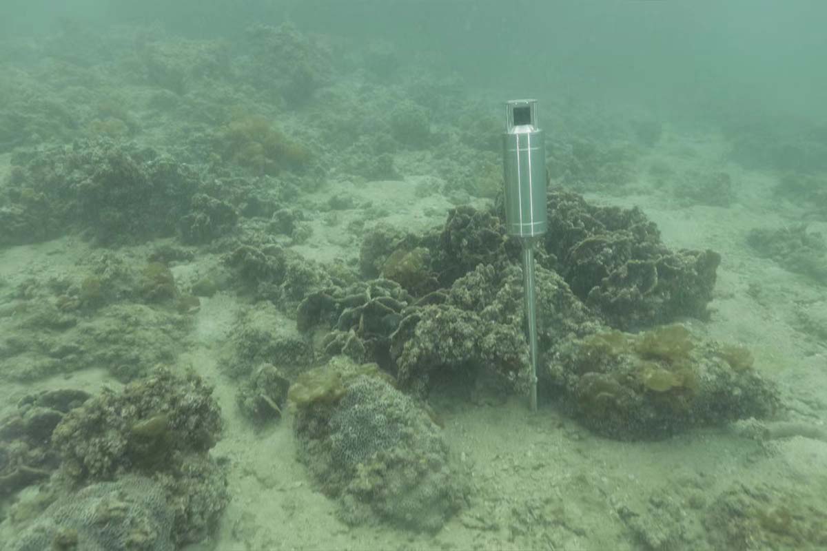
▲Underwater Locator Beacon was placed in underwater target location.
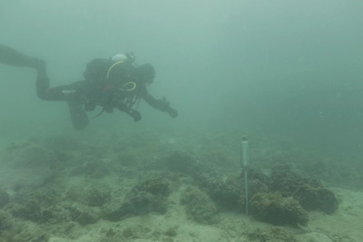
▲The diver finds the Underwater Locator Beacon through the Dive Navigation Computer
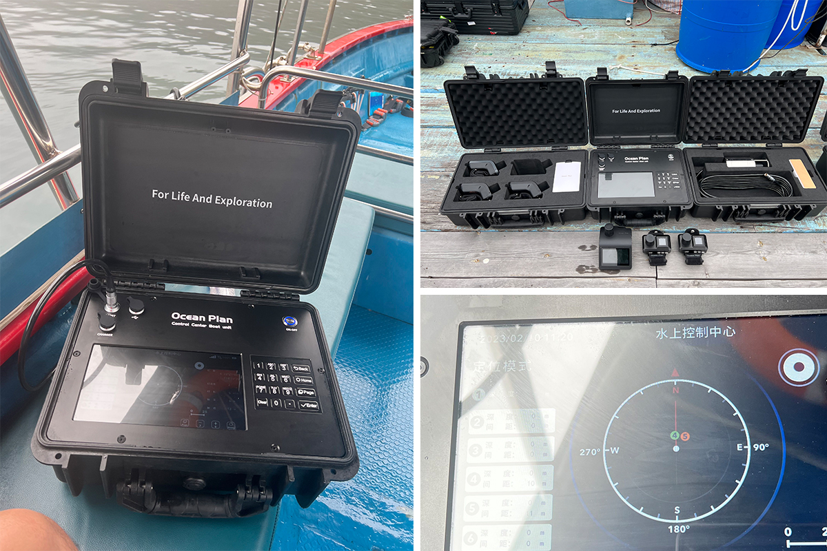
▲Through the Control Center to grasp the real-time movement and status of underwater divers
#underwater positioning
#underwater acoustic communication
#situational awareness
#subsea positioning
#underwater location tracking